- We will send in 10–14 business days.
- Author: Bruce Batchelor
- Publisher: Trafford Publishing
- Year: 1997
- Pages: 74
- ISBN-10: 1552120007
- ISBN-13: 9781552120002
- Format: 14 x 21.6 x 0.5 cm, minkšti viršeliai
- Language: English
- SAVE -10% with code: EXTRA
Reviews
Description
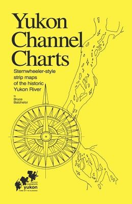
Maps of the Yukon River (Yukon Territory, Canada) drawn in historical style as used by pilots of the paddlewheelers on the famous "Trail of '98" gold rush to the Klondike. Short stories and 42 photos in this 68 page, spiral-bound book provide personal insights into contemporary river lifestyles and the rich history of the Yukon River.
This is the third edition of this regional bestseller-- it was first published in 1975 and revised in 1980-- over 4,000 copies have been sold to canoeists, rafters and other adventurers who have taken this spectacular wilderness voyage. It includes 64 "strip maps" which illustrate the route from Whitehorse to Dawson City.
- Author: Bruce Batchelor
- Publisher: Trafford Publishing
- Year: 1997
- Pages: 74
- ISBN-10: 1552120007
- ISBN-13: 9781552120002
- Format: 14 x 21.6 x 0.5 cm, minkšti viršeliai
- Language: English English
Maps of the Yukon River (Yukon Territory, Canada) drawn in historical style as used by pilots of the paddlewheelers on the famous "Trail of '98" gold rush to the Klondike. Short stories and 42 photos in this 68 page, spiral-bound book provide personal insights into contemporary river lifestyles and the rich history of the Yukon River.
This is the third edition of this regional bestseller-- it was first published in 1975 and revised in 1980-- over 4,000 copies have been sold to canoeists, rafters and other adventurers who have taken this spectacular wilderness voyage. It includes 64 "strip maps" which illustrate the route from Whitehorse to Dawson City.


Reviews