- We will send in 10–14 business days.
- Author: R Basawaraja
- Publisher: DISCOVERY PUBLISHING HOUSE PVT LTD
- ISBN-10: 9350567784
- ISBN-13: 9789350567784
- Format: 17 x 24.4 x 1.1 cm, hardcover
- Language: English
- SAVE -10% with code: EXTRA
Reviews
Description
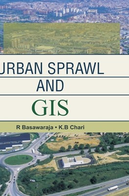
This book demonstrates the techniques of Remote Sensing and Geographic Information Systems (GIS) for analysing the spatiotemporal patterns, causes and concerns of urban sprawl of a typical city with special reference to Raichur city of Karnataka, India.In the present study, an attempt has been made to study the urban sprawl pattern of Raichur City vis-Ã -vis the infrastructure and other utility services such as water supply, sanitation, power transmission, and agriculture using the state-of-the-art remote sensing techniques and Geographical Information Systems.
EXTRA 10 % discount with code: EXTRA
The promotion ends in 19d.05:49:38
The discount code is valid when purchasing from 10 €. Discounts do not stack.
- Author: R Basawaraja
- Publisher: DISCOVERY PUBLISHING HOUSE PVT LTD
- ISBN-10: 9350567784
- ISBN-13: 9789350567784
- Format: 17 x 24.4 x 1.1 cm, hardcover
- Language: English English
This book demonstrates the techniques of Remote Sensing and Geographic Information Systems (GIS) for analysing the spatiotemporal patterns, causes and concerns of urban sprawl of a typical city with special reference to Raichur city of Karnataka, India.In the present study, an attempt has been made to study the urban sprawl pattern of Raichur City vis-Ã -vis the infrastructure and other utility services such as water supply, sanitation, power transmission, and agriculture using the state-of-the-art remote sensing techniques and Geographical Information Systems.


Reviews