- We will send in 10–14 business days.
- Author: Tim C H Cockin
- Publisher: Malthouse Press
- ISBN-10: 1907364102
- ISBN-13: 9781907364105
- Format: 21 x 29.7 x 4.5 cm, minkšti viršeliai
- Language: English
- SAVE -10% with code: EXTRA
Reviews
Description
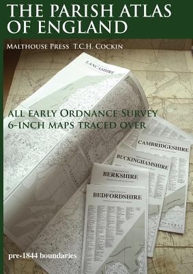
An atlas old English PARISHES for the general user, local historians and genealogists. Using desktop publishing and high capacity memory personal computers the 19th Century Ordnance Survey 6-Inch County series maps have been traced over at 16.8mm (0.6619 inch) to 1 mile with readable text, combined with information from tithe maps and other sources. This is seven-year, solo, labour of love project by T.C.H. Cockin contains all 39 counties of England, with consideration to the possibility panels can make wall charts or fold-outs for separate publication.
EXTRA 10 % discount with code: EXTRA
The promotion ends in 22d.10:41:58
The discount code is valid when purchasing from 10 €. Discounts do not stack.
- Author: Tim C H Cockin
- Publisher: Malthouse Press
- ISBN-10: 1907364102
- ISBN-13: 9781907364105
- Format: 21 x 29.7 x 4.5 cm, minkšti viršeliai
- Language: English English
An atlas old English PARISHES for the general user, local historians and genealogists. Using desktop publishing and high capacity memory personal computers the 19th Century Ordnance Survey 6-Inch County series maps have been traced over at 16.8mm (0.6619 inch) to 1 mile with readable text, combined with information from tithe maps and other sources. This is seven-year, solo, labour of love project by T.C.H. Cockin contains all 39 counties of England, with consideration to the possibility panels can make wall charts or fold-outs for separate publication.


Reviews