- We will send in 10–14 business days.
- Author: Michael Martin
- Publisher: CreateSpace Independent Publishing Platform
- Year: 2013
- Pages: 50
- ISBN-10: 1492715069
- ISBN-13: 9781492715061
- Format: 21.6 x 27.9 x 0.3 cm, minkšti viršeliai
- Language: English
- SAVE -10% with code: EXTRA
Riparian Condition Assessments for the Pecos River and Lower Glorieta Creek (e-book) (used book) | bookbook.eu
Reviews
Description
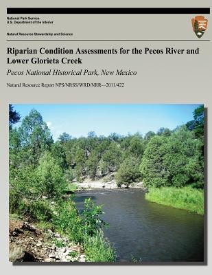
This report presents the results of riparian condition assessments conducted during July 6-8, 2010 on the Pecos River and lower Glorieta Creek within Pecos National Historical Park, New Mexico. These assessments were intended to inform the Natural Resource Condition Assessment and the Resource Stewardship Strategy now being prepared for the park. The authors used methods described in "A User Guide to Assessing the Proper Functioning Condition and the Supporting Science for Lotic Areas" (USDI 1998) to evaluate 17 hydrology, vegetation, soil and geomorphology elements for three assessment reaches on the Pecos River and one reach on lower Glorieta Creek. The authors then rated the reaches as being in "proper functioning", "functional at-risk" or "nonfunctional" condition. Riparian condition checklists and supporting notes prepared for all assessment reaches are provided in the appendices.
EXTRA 10 % discount with code: EXTRA
The promotion ends in 23d.00:29:33
The discount code is valid when purchasing from 10 €. Discounts do not stack.
- Author: Michael Martin
- Publisher: CreateSpace Independent Publishing Platform
- Year: 2013
- Pages: 50
- ISBN-10: 1492715069
- ISBN-13: 9781492715061
- Format: 21.6 x 27.9 x 0.3 cm, minkšti viršeliai
- Language: English English
This report presents the results of riparian condition assessments conducted during July 6-8, 2010 on the Pecos River and lower Glorieta Creek within Pecos National Historical Park, New Mexico. These assessments were intended to inform the Natural Resource Condition Assessment and the Resource Stewardship Strategy now being prepared for the park. The authors used methods described in "A User Guide to Assessing the Proper Functioning Condition and the Supporting Science for Lotic Areas" (USDI 1998) to evaluate 17 hydrology, vegetation, soil and geomorphology elements for three assessment reaches on the Pecos River and one reach on lower Glorieta Creek. The authors then rated the reaches as being in "proper functioning", "functional at-risk" or "nonfunctional" condition. Riparian condition checklists and supporting notes prepared for all assessment reaches are provided in the appendices.


Reviews