- We will send in 10–14 business days.
- Author: United States Department of Agriculture
- Publisher: CreateSpace Independent Publishing Platform
- ISBN-10: 1511599197
- ISBN-13: 9781511599191
- Format: 21.6 x 28 x 0.3 cm, softcover
- Language: English
- SAVE -10% with code: EXTRA
Regional Data to Support Biodiversity Assessments (e-book) (used book) | bookbook.eu
Reviews
Description
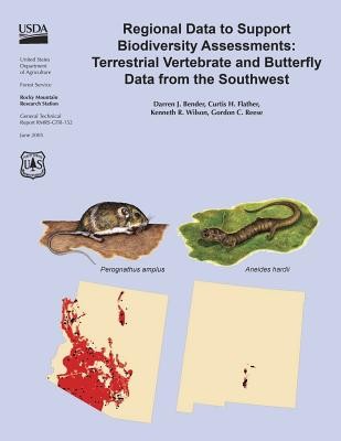
Spatially explicit data on the location of species across broad geographic areas greatly facilitate effective conservation planning on lands managed for multiple uses. The importance of these data notwithstanding, our knowledge about the geography of biodiversity is remarkably incomplete. An important factor contributing to our ignorance is that much of the biodiversity data are not readily accessible because they are dispersed across many institutions and often have not been digitized. This report documents our efforts to address these conservation planning constraints. We have compiled extant data on predicted species distributions and more than 680,000 occurrence records for terrestrial vertebrates and butterflies into a single digital database for general use in conducting geographically broad biodiversity assessments across a two-state area (Arizona and New Mexico) that defines the Southwestern Region of the USDA, Forest Service. These data represent one of the most complete databases on species occurrence to be compiled for the Southwest. Our objectives are twofold: (1) to document the types, sources, and characteristics of the data comprising the biodiversity database; and (2) to illustrate the utility of the data in addressing applied conservation problems across the Southwestern Region. We report on three case studies that illustrate how the data can be used to generate simple distribution maps using both point locations and predicted ranges, describe the patterns of species richness for seletected taxa across the Southwest, and provide an example of how managers may use the data to identify where potential resource conflicts may be particularly important on National Forest System lands.
EXTRA 10 % discount with code: EXTRA
The promotion ends in 18d.20:09:15
The discount code is valid when purchasing from 10 €. Discounts do not stack.
- Author: United States Department of Agriculture
- Publisher: CreateSpace Independent Publishing Platform
- ISBN-10: 1511599197
- ISBN-13: 9781511599191
- Format: 21.6 x 28 x 0.3 cm, softcover
- Language: English English
Spatially explicit data on the location of species across broad geographic areas greatly facilitate effective conservation planning on lands managed for multiple uses. The importance of these data notwithstanding, our knowledge about the geography of biodiversity is remarkably incomplete. An important factor contributing to our ignorance is that much of the biodiversity data are not readily accessible because they are dispersed across many institutions and often have not been digitized. This report documents our efforts to address these conservation planning constraints. We have compiled extant data on predicted species distributions and more than 680,000 occurrence records for terrestrial vertebrates and butterflies into a single digital database for general use in conducting geographically broad biodiversity assessments across a two-state area (Arizona and New Mexico) that defines the Southwestern Region of the USDA, Forest Service. These data represent one of the most complete databases on species occurrence to be compiled for the Southwest. Our objectives are twofold: (1) to document the types, sources, and characteristics of the data comprising the biodiversity database; and (2) to illustrate the utility of the data in addressing applied conservation problems across the Southwestern Region. We report on three case studies that illustrate how the data can be used to generate simple distribution maps using both point locations and predicted ranges, describe the patterns of species richness for seletected taxa across the Southwest, and provide an example of how managers may use the data to identify where potential resource conflicts may be particularly important on National Forest System lands.


Reviews