- We will send in 10–14 business days.
- Author: Nicolas Baghdadi
- Publisher: Wiley-ISTE
- ISBN-10: 1786302713
- ISBN-13: 9781786302717
- Format: 16.3 x 23.4 x 2 cm, kieti viršeliai
- Language: English
- SAVE -10% with code: EXTRA
Reviews
Description
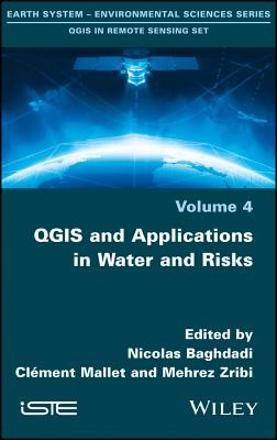
Our four volumes propose to present innovative thematic applications implemented using the open source software QGIS. These are applications that use remote sensing over continental surfaces. The four volumes detail applications of remote sensing over continental surfaces, with a first one discussing applications for agriculture. A second one presents applications for forest, a third presents applications for the continental hydrology, and finally the last volume details applications for environment and risk issues.
EXTRA 10 % discount with code: EXTRA
The promotion ends in 23d.15:20:25
The discount code is valid when purchasing from 10 €. Discounts do not stack.
- Author: Nicolas Baghdadi
- Publisher: Wiley-ISTE
- ISBN-10: 1786302713
- ISBN-13: 9781786302717
- Format: 16.3 x 23.4 x 2 cm, kieti viršeliai
- Language: English English
Our four volumes propose to present innovative thematic applications implemented using the open source software QGIS. These are applications that use remote sensing over continental surfaces. The four volumes detail applications of remote sensing over continental surfaces, with a first one discussing applications for agriculture. A second one presents applications for forest, a third presents applications for the continental hydrology, and finally the last volume details applications for environment and risk issues.


Reviews