- We will send in 10–14 business days.
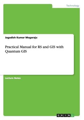
- Author: Jagadish Kumar Mogaraju
- Publisher: GRIN Verlag
- Year: 2014
- Pages: 32
- ISBN-10: 365657880X
- ISBN-13: 9783656578802
- Format: 14.8 x 21 x 0.2 cm, softcover
- Language: English
- SAVE -10% with code: EXTRA
Practical Manual for RS and GIS with Quantum GIS (e-book) (used book) | bookbook.eu
Reviews
Description
Script from the year 2013 in the subject Engineering - General, Basics, grade: GRADUATE, language: English, abstract: Georeferencing is the process of assigning real-world coordinates to each pixel of the raster. These coordinates are obtained by doing field surveys - collecting coordinates with a GPS device for few easily identifiable features in the image or map. In case of digitize scanned maps, the coordinates can be obtained from the markings on the map image itself. Using these sample coordinates or GCPs (Ground Control Points), the image is warped and made to fit within the chosen coordinate system.
EXTRA 10 % discount with code: EXTRA
The promotion ends in 13d.17:56:10
The discount code is valid when purchasing from 10 €. Discounts do not stack.
- Author: Jagadish Kumar Mogaraju
- Publisher: GRIN Verlag
- Year: 2014
- Pages: 32
- ISBN-10: 365657880X
- ISBN-13: 9783656578802
- Format: 14.8 x 21 x 0.2 cm, softcover
- Language: English English
Script from the year 2013 in the subject Engineering - General, Basics, grade: GRADUATE, language: English, abstract: Georeferencing is the process of assigning real-world coordinates to each pixel of the raster. These coordinates are obtained by doing field surveys - collecting coordinates with a GPS device for few easily identifiable features in the image or map. In case of digitize scanned maps, the coordinates can be obtained from the markings on the map image itself. Using these sample coordinates or GCPs (Ground Control Points), the image is warped and made to fit within the chosen coordinate system.


Reviews