- We will send in 10–14 business days.
- Author: Matthew Fontaine Maury
- Publisher: CreateSpace Independent Publishing Platform
- ISBN-10: 1985837471
- ISBN-13: 9781985837478
- Format: 20.3 x 25.4 x 1.1 cm, minkšti viršeliai
- Language: English
- SAVE -10% with code: EXTRA
Reviews
Description
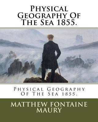
Matthew Fontaine Maury (January 14, 1806 - February 1, 1873) was an American astronomer, United States Navy officer, historian, oceanographer, meteorologist, cartographer, author, geologist, and educator. He was nicknamed "Pathfinder of the Seas" and "Father of Modern Oceanography and Naval Meteorology" and later, "Scientist of the Seas" for his extensive works in his books, especially The Physical Geography of the Sea (1855), the first such extensive and comprehensive book on oceanography to be published. Maury made many important new contributions to charting winds and ocean currents, including ocean lanes for passing ships at sea. In 1825, at 19, Maury obtained, through US Representative Sam Houston, a midshipman's warrant in the United States Navy. As a midshipman on board the frigate USS Brandywine, he almost immediately began to study the seas and record methods of navigation. When a leg injury left him unfit for sea duty, Maury devoted his time to the study of navigation, meteorology, winds, and currents. He became Superintendent of the United States Naval Observatory and head of the Depot of Charts and Instruments. There, Maury studied thousands of ships' logs and charts. He published the Wind and Current Chart of the North Atlantic Ocean, which showed sailors how to use the ocean's currents and winds to their advantage, drastically reducing the length of ocean voyages. Maury's uniform system of recording oceanographic data was adopted by navies and merchant marines around the world and was used to develop charts for all the major trade routes
- Author: Matthew Fontaine Maury
- Publisher: CreateSpace Independent Publishing Platform
- ISBN-10: 1985837471
- ISBN-13: 9781985837478
- Format: 20.3 x 25.4 x 1.1 cm, minkšti viršeliai
- Language: English English
Matthew Fontaine Maury (January 14, 1806 - February 1, 1873) was an American astronomer, United States Navy officer, historian, oceanographer, meteorologist, cartographer, author, geologist, and educator. He was nicknamed "Pathfinder of the Seas" and "Father of Modern Oceanography and Naval Meteorology" and later, "Scientist of the Seas" for his extensive works in his books, especially The Physical Geography of the Sea (1855), the first such extensive and comprehensive book on oceanography to be published. Maury made many important new contributions to charting winds and ocean currents, including ocean lanes for passing ships at sea. In 1825, at 19, Maury obtained, through US Representative Sam Houston, a midshipman's warrant in the United States Navy. As a midshipman on board the frigate USS Brandywine, he almost immediately began to study the seas and record methods of navigation. When a leg injury left him unfit for sea duty, Maury devoted his time to the study of navigation, meteorology, winds, and currents. He became Superintendent of the United States Naval Observatory and head of the Depot of Charts and Instruments. There, Maury studied thousands of ships' logs and charts. He published the Wind and Current Chart of the North Atlantic Ocean, which showed sailors how to use the ocean's currents and winds to their advantage, drastically reducing the length of ocean voyages. Maury's uniform system of recording oceanographic data was adopted by navies and merchant marines around the world and was used to develop charts for all the major trade routes


Reviews