- We will send in 10–14 business days.
- Author: A G Smith
- Publisher: Cambridge University Press
- ISBN-10: 0521232589
- ISBN-13: 9780521232586
- Format: 21 x 27.9 x 0.6 cm, softcover
- Language: English
- SAVE -10% with code: EXTRA
Reviews
Description
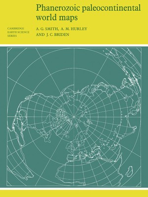
First published in 1980, this book shows the positions of the major continental areas during the past 560 million years as four series of computer-drawn maps. The maps have been drawn for the present day, 10 and 20 million years ago, then at 20-million-year intervals back to 240 million years, and finally at 40-million-year intervals to 560 million years ago. All the maps are based on quantitative geophysical or topographic information: paleomagnetic pole positions, ocean floor magnetic anomalies, and best fits of the continental margins. Cylindrical equidistant and Lambert equal-area polar projections are used, with a thirty-degree latitude-longitude grid. Many interesting problems in the Earth Sciences are global. These maps provide a framework on which a wide variety of data may be plotted. Problems in fields as widely separated as palenontology, stratigraphy, geochemistry and tectonics may usefully be displayed on these maps.
EXTRA 10 % discount with code: EXTRA
The promotion ends in 20d.15:06:31
The discount code is valid when purchasing from 10 €. Discounts do not stack.
- Author: A G Smith
- Publisher: Cambridge University Press
- ISBN-10: 0521232589
- ISBN-13: 9780521232586
- Format: 21 x 27.9 x 0.6 cm, softcover
- Language: English English
First published in 1980, this book shows the positions of the major continental areas during the past 560 million years as four series of computer-drawn maps. The maps have been drawn for the present day, 10 and 20 million years ago, then at 20-million-year intervals back to 240 million years, and finally at 40-million-year intervals to 560 million years ago. All the maps are based on quantitative geophysical or topographic information: paleomagnetic pole positions, ocean floor magnetic anomalies, and best fits of the continental margins. Cylindrical equidistant and Lambert equal-area polar projections are used, with a thirty-degree latitude-longitude grid. Many interesting problems in the Earth Sciences are global. These maps provide a framework on which a wide variety of data may be plotted. Problems in fields as widely separated as palenontology, stratigraphy, geochemistry and tectonics may usefully be displayed on these maps.


Reviews