- We will send in 10–14 business days.
- Author: United States Department of Agriculture
- Publisher: CreateSpace Independent Publishing Platform
- Year: 2015
- Pages: 36
- ISBN-10: 1505849012
- ISBN-13: 9781505849011
- Format: 21.6 x 28 x 0.2 cm, softcover
- Language: English
- SAVE -10% with code: EXTRA
Nevada Photo-Based Inventory Pilot (NPIP) Photo Sampling Procedures (e-book) (used book) | bookbook.eu
Reviews
Description
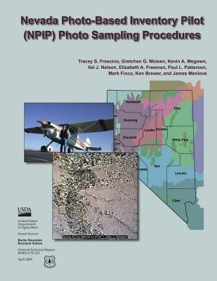
The Forest Inventory and Analysis program (FIA) of the U.S. Forest Service monitors status and trends in forested ecoregions nationwide. The complex nature of this broad-scale, strategic-level inventory demands constant evolution and evaluation of methods to get the best information possible while continuously increasing efficiency. In 2004, the "Nevada Photo-Based Inventory Pilot" (NPIP) was launched and involved the acquisition and processing of large-scale aerial photography (LSP) throughout the State of Nevada. The over-arching goals of this pilot are to exceed information requirements, accelerate inventory timelines, and reduce inventory costs. Meeting these objectives requires the development of several complex and inter-related procedures, including photo-sampling protocol, statistical estimators, cover measurement techniques, and improved methods for mapping forest and nonforest attributes. This report documents the first of these procedures, the photo-sampling protocol for the NPIP project.
EXTRA 10 % discount with code: EXTRA
The promotion ends in 18d.07:16:16
The discount code is valid when purchasing from 10 €. Discounts do not stack.
- Author: United States Department of Agriculture
- Publisher: CreateSpace Independent Publishing Platform
- Year: 2015
- Pages: 36
- ISBN-10: 1505849012
- ISBN-13: 9781505849011
- Format: 21.6 x 28 x 0.2 cm, softcover
- Language: English English
The Forest Inventory and Analysis program (FIA) of the U.S. Forest Service monitors status and trends in forested ecoregions nationwide. The complex nature of this broad-scale, strategic-level inventory demands constant evolution and evaluation of methods to get the best information possible while continuously increasing efficiency. In 2004, the "Nevada Photo-Based Inventory Pilot" (NPIP) was launched and involved the acquisition and processing of large-scale aerial photography (LSP) throughout the State of Nevada. The over-arching goals of this pilot are to exceed information requirements, accelerate inventory timelines, and reduce inventory costs. Meeting these objectives requires the development of several complex and inter-related procedures, including photo-sampling protocol, statistical estimators, cover measurement techniques, and improved methods for mapping forest and nonforest attributes. This report documents the first of these procedures, the photo-sampling protocol for the NPIP project.


Reviews