- We will send in 10–14 business days.
- Author: Tendai Treddah Musindo
- Publisher: British Archaeological Reports (Oxford) Ltd
- ISBN-10: 1407353977
- ISBN-13: 9781407353975
- Format: 21 x 29.7 x 1 cm, minkšti viršeliai
- Language: English
- SAVE -10% with code: EXTRA
Reviews
Description
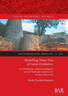
This book combines GIS aided landscape analysis with an examination of both historical and ethnoarchaeological data to provide new insights on the link between water sources and the built environment at Great Zimbabwe. The book interrogates the centrality of water in shaping spatial and social processes at an ancient capital. In addition, the author examines the different methods used by the residents of Great Zimbabwe to manage water sources and to transport water from sources to the domestic area and the implications of such methods to the use of space. It also examines the ways in which water sources influenced social formation and use of space at the ancient city of Great Zimbabwe.The author has managed to expertly strike a balance between deploying GIS tools and historical and ethnoarchaeological data to model the effect of water on the spatial and social processes at Great Zimbabwe.
EXTRA 10 % discount with code: EXTRA
The promotion ends in 23d.13:00:11
The discount code is valid when purchasing from 10 €. Discounts do not stack.
- Author: Tendai Treddah Musindo
- Publisher: British Archaeological Reports (Oxford) Ltd
- ISBN-10: 1407353977
- ISBN-13: 9781407353975
- Format: 21 x 29.7 x 1 cm, minkšti viršeliai
- Language: English English
This book combines GIS aided landscape analysis with an examination of both historical and ethnoarchaeological data to provide new insights on the link between water sources and the built environment at Great Zimbabwe. The book interrogates the centrality of water in shaping spatial and social processes at an ancient capital. In addition, the author examines the different methods used by the residents of Great Zimbabwe to manage water sources and to transport water from sources to the domestic area and the implications of such methods to the use of space. It also examines the ways in which water sources influenced social formation and use of space at the ancient city of Great Zimbabwe.The author has managed to expertly strike a balance between deploying GIS tools and historical and ethnoarchaeological data to model the effect of water on the spatial and social processes at Great Zimbabwe.


Reviews