- We will send in 10–14 business days.
- Publisher: MDPI AG
- Year: 2021
- Pages: 144
- ISBN-10: 3036520430
- ISBN-13: 9783036520438
- Format: 17 x 24.4 x 1.4 cm, hardcover
- Language: English
- SAVE -10% with code: EXTRA
Mapping and Monitoring Forest Cover (e-book) (used book) | bookbook.eu
Reviews
Description
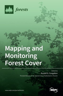
This book is a compilation of six papers that provide some valuable information about mapping and monitoring forest cover using remotely sensed imagery. Examples include mapping large areas of forest, evaluating forest change over time, combining remotely sensed imagery with ground inventory information, and mapping forest characteristics from very high spatial resolution data. Together, these results demonstrate effective techniques for effectively learning more about our very important forest resources.
EXTRA 10 % discount with code: EXTRA
The promotion ends in 17d.01:49:06
The discount code is valid when purchasing from 10 €. Discounts do not stack.
- Publisher: MDPI AG
- Year: 2021
- Pages: 144
- ISBN-10: 3036520430
- ISBN-13: 9783036520438
- Format: 17 x 24.4 x 1.4 cm, hardcover
- Language: English English
This book is a compilation of six papers that provide some valuable information about mapping and monitoring forest cover using remotely sensed imagery. Examples include mapping large areas of forest, evaluating forest change over time, combining remotely sensed imagery with ground inventory information, and mapping forest characteristics from very high spatial resolution data. Together, these results demonstrate effective techniques for effectively learning more about our very important forest resources.


Reviews