- We will send in 10–14 business days.
- Author: Ryan C Bell
- Publisher: Anthem Press
- ISBN-10: 0857280619
- ISBN-13: 9780857280619
- Format: 15.2 x 22.9 x 0.8 cm, softcover
- Language: English
- SAVE -10% with code: EXTRA
Reviews
Description
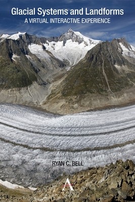
This interactive guide serves to make glacial systems and landforms more accessible, as students use Google Earth and other satellite imagery to understand the patterns and processes found within glacial environments. Guided inquiry activities range from calculating the Mendenhall Glacier's rate of melting to identifying erosional landforms in the Swiss Alps. In this way, the guide offers a virtual interactive experience in which students can visit and explore glacial systems and landforms in 3D. Through studying these images the student will not only start to recognize the forms commonly found within glacial landscapes, but also develop skills in map analysis and interpretation.
EXTRA 10 % discount with code: EXTRA
The promotion ends in 20d.22:21:50
The discount code is valid when purchasing from 10 €. Discounts do not stack.
- Author: Ryan C Bell
- Publisher: Anthem Press
- ISBN-10: 0857280619
- ISBN-13: 9780857280619
- Format: 15.2 x 22.9 x 0.8 cm, softcover
- Language: English English
This interactive guide serves to make glacial systems and landforms more accessible, as students use Google Earth and other satellite imagery to understand the patterns and processes found within glacial environments. Guided inquiry activities range from calculating the Mendenhall Glacier's rate of melting to identifying erosional landforms in the Swiss Alps. In this way, the guide offers a virtual interactive experience in which students can visit and explore glacial systems and landforms in 3D. Through studying these images the student will not only start to recognize the forms commonly found within glacial landscapes, but also develop skills in map analysis and interpretation.


Reviews