- We will send in 10–14 business days.
- Author: United States Department of Agriculture
- Publisher: CreateSpace Independent Publishing Platform
- Year: 2015
- Pages: 54
- ISBN-10: 1505877458
- ISBN-13: 9781505877458
- Format: 21.6 x 28 x 0.3 cm, softcover
- Language: English
- SAVE -10% with code: EXTRA
Field Guide for Mapping Post-Fire Soil Burn Severity (e-book) (used book) | bookbook.eu
Reviews
Description
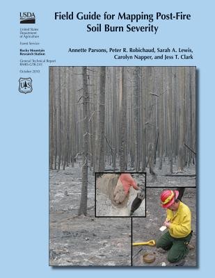
Following wildfires in the United States, the U.S. Department of Agriculture and U.S. Department of the Interior mobilize Burned Area Emergency Response (BAER) teams to assess immediate post-fire watershed conditions. BAER teams must determine threats from flooding, soil erosion, and instability. Developing a postfire soil burn severity map is an important first step in the rapid assessment process. It enables BAER teams to prioritize field reviews and locate burned areas that may pose a risk to critical values within or downstream of the burned area. By helping to identify indicators of soil conditions that differentiate soil burn severity classes, this field guide will help BAER teams to consistently interpret, field validate, and map soil burn severity.
EXTRA 10 % discount with code: EXTRA
The promotion ends in 18d.07:19:06
The discount code is valid when purchasing from 10 €. Discounts do not stack.
- Author: United States Department of Agriculture
- Publisher: CreateSpace Independent Publishing Platform
- Year: 2015
- Pages: 54
- ISBN-10: 1505877458
- ISBN-13: 9781505877458
- Format: 21.6 x 28 x 0.3 cm, softcover
- Language: English English
Following wildfires in the United States, the U.S. Department of Agriculture and U.S. Department of the Interior mobilize Burned Area Emergency Response (BAER) teams to assess immediate post-fire watershed conditions. BAER teams must determine threats from flooding, soil erosion, and instability. Developing a postfire soil burn severity map is an important first step in the rapid assessment process. It enables BAER teams to prioritize field reviews and locate burned areas that may pose a risk to critical values within or downstream of the burned area. By helping to identify indicators of soil conditions that differentiate soil burn severity classes, this field guide will help BAER teams to consistently interpret, field validate, and map soil burn severity.


Reviews