- We will send in 10–14 business days.
- Author: Us Army Corps of Engineers
- Publisher: MILITARY BOOKSHOP
- ISBN-10: 178039778X
- ISBN-13: 9781780397788
- Format: 21.6 x 27.9 x 2.2 cm, minkšti viršeliai
- Language: English
- SAVE -10% with code: EXTRA
Reviews
Description
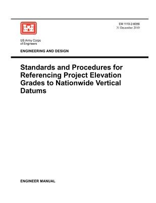
This manual provides technical guidance for referencing project elevation grades to nationwide vertical datums established and maintained by the U.S. Department of Commerce. It supplements ER 1110 -2-8160 (Policies for Referencing Project Elevation Grades to Nationwide Vertical Datums) that requires controlling elevations and local datums on USACE projects shall be properly and accurately referenced to nationwide spatial reference systems used by other Federal, state, and local agencies responsible for flood forecasting, inundation modeling, water control, flood insurance rate maps, navigation charting, and topographic mapping.
EXTRA 10 % discount with code: EXTRA
The promotion ends in 21d.13:38:26
The discount code is valid when purchasing from 10 €. Discounts do not stack.
- Author: Us Army Corps of Engineers
- Publisher: MILITARY BOOKSHOP
- ISBN-10: 178039778X
- ISBN-13: 9781780397788
- Format: 21.6 x 27.9 x 2.2 cm, minkšti viršeliai
- Language: English English
This manual provides technical guidance for referencing project elevation grades to nationwide vertical datums established and maintained by the U.S. Department of Commerce. It supplements ER 1110 -2-8160 (Policies for Referencing Project Elevation Grades to Nationwide Vertical Datums) that requires controlling elevations and local datums on USACE projects shall be properly and accurately referenced to nationwide spatial reference systems used by other Federal, state, and local agencies responsible for flood forecasting, inundation modeling, water control, flood insurance rate maps, navigation charting, and topographic mapping.


Reviews