- We will send in 10–14 business days.
- Author: Ahmed Dahmeni
- Publisher: Our Knowledge Publishing
- ISBN-10: 6203550914
- ISBN-13: 9786203550917
- Format: 15.2 x 22.9 x 0.5 cm, softcover
- Language: English
- SAVE -10% with code: EXTRA
Reviews
Description
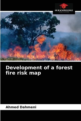
We tried in this project to establish a risk map of forest fires in the governorate of Ariana by combining all the factors involved in the risk assessment based on information derived from the results of processing and operations performed on topographic maps and satellite images. Indeed, remote sensing and geographic information system can provide useful information and valuable assistance to foresters in decision-making in disaster management.
EXTRA 10 % discount with code: EXTRA
The promotion ends in 7d.12:55:22
The discount code is valid when purchasing from 10 €. Discounts do not stack.
- Author: Ahmed Dahmeni
- Publisher: Our Knowledge Publishing
- ISBN-10: 6203550914
- ISBN-13: 9786203550917
- Format: 15.2 x 22.9 x 0.5 cm, softcover
- Language: English English
We tried in this project to establish a risk map of forest fires in the governorate of Ariana by combining all the factors involved in the risk assessment based on information derived from the results of processing and operations performed on topographic maps and satellite images. Indeed, remote sensing and geographic information system can provide useful information and valuable assistance to foresters in decision-making in disaster management.


Reviews